J3272 : Disused shop, Donegall Avenue, Belfast - 2014 (1)
taken 10 years ago, near to Belfast, Co Antrim, Northern Ireland
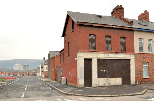
Disused shop, Donegall Avenue, Belfast - 2014 (1)
A disused shop on the northern corner of Kitchener Drive (Kitchener Street on the Google map). Continue to J3272 : Renovation work, Donegall Avenue, Belfast (July 2014).
![Creative Commons Licence [Some Rights Reserved]](https://s1.geograph.org.uk/img/somerights20.gif)
|
· Find out How to reuse this image ·
Share:
|
|||||
|
There is 1 post in a
discussion on J3272 (preview on the left) |
Suggest an update to this image | Contact the contributor | |||
Loading map... (JavaScript required)
- Grid Square
- J3272, 436 images (more nearby
 )
)
- Photographer
- Albert Bridge (find more nearby)
- Date Taken
- Thursday, 30 January, 2014 (more nearby)
- Submitted
- Thursday, 30 January, 2014
- Geographical Context
- Place (from Tags)
- Subject Location
-
Irish:
 J 324 727 [100m precision]
WGS84: 54:35.1233N 5:57.1309W - Camera Location
-
Irish: J 324 727
- View Direction
- West-northwest (about 292 degrees)
Other Tags
Image classification(about):
Geograph
This page has been viewed about 56 times.
View this location:
KML (Google Earth) ·
Google Maps ·
Bing Maps ·
Geograph Coverage Map ·
More Links for this image
·
Bing Maps ·
Geograph Coverage Map ·
More Links for this image