2007
NZ0683 : Lane near Corridge
taken 17 years ago, near to Middleton Bank Top, Northumberland, England
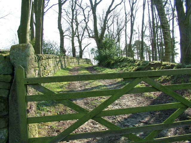
Lane near Corridge
I'm sure the trees provide more cover in summer. It was surprisingly warm walking along here at the beginning of April.
 Map © Crown Copyright")
TIP: Click the map for more Large scale mapping
- Grid Square
- NZ0683, 6 images (more nearby 🔍)
- Photographer
- 27th Newcastle Scouts (more nearby)
- Date Taken
- Sunday, 1 April, 2007 (more nearby)
- Submitted
- Sunday, 1 April, 2007
- Subject Location
-
OSGB36:
 NZ 062 836 [100m precision]
WGS84: 55:8.8186N 1:54.1805W - Camera Location
-
OSGB36: NZ 062 837
- View Direction
- SOUTH (about 180 degrees)