J2819 : View across undulating farm land to Livins Road
taken 11 years ago, near to Attical, Co Down, Northern Ireland
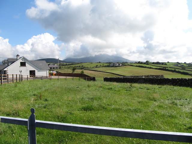
View across undulating farm land to Livins Road
This image was taken from the Aughrim Road. The High Mournes form the background.
![Creative Commons Licence [Some Rights Reserved]](https://s1.geograph.org.uk/img/somerights20.gif)
|
· Find out How to reuse this image ·
Share:
|
|||||
| Start a discussion on J2819 | Suggest an update to this image | Contact the contributor | |||
Loading map... (JavaScript required)
- Grid Square
- J2819, 29 images (more nearby
 )
)
- Photographer
- Eric Jones (find more nearby)
- Date Taken
- Friday, 26 July, 2013 (more nearby)
- Submitted
- Monday, 10 February, 2014
- Geographical Context
- Subject Location
-
Irish:
 J 285 192 [100m precision]
WGS84: 54:6.3577N 6:2.0856W - Camera Location
-
Irish: J 280 191
- View Direction
- EAST (about 90 degrees)
Image classification(about):
Geograph
This page has been viewed about 11 times.
View this location:
KML (Google Earth) ·
Google Maps ·
Bing Maps ·
Geograph Coverage Map ·
More Links for this image
·
Bing Maps ·
Geograph Coverage Map ·
More Links for this image