2014
SU8460 : Floods at the Sandhurst Balancing Pond
taken 10 years ago, near to Frogmore, Hampshire, England
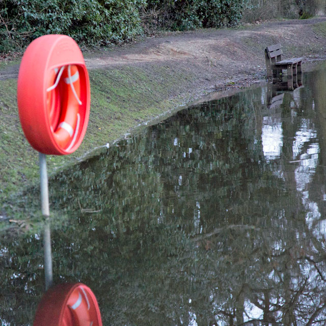
Floods at the Sandhurst Balancing Pond
February Floods. The footpath flooded for part of the circuit round the pond. A higher path did allow passage, give or take a fallen tree
 Map © Crown Copyright")
TIP: Click the map for more Large scale mapping
- Grid Square
- SU8460, 56 images (more nearby 🔍)
- Photographer
- Bob Hallsworth (more nearby)
- Date Taken
- Friday, 7 February, 2014 (more nearby)
- Submitted
- Wednesday, 12 February, 2014
- Subject Location
-
OSGB36:
 SU 84348 60988 [1m precision]
WGS84: 51:20.5038N 0:47.4256W - Camera Location
-
OSGB36: SU 84241 61018
- View Direction
- East-southeast (about 112 degrees)