2013
SW7140 : Track near the summit of Carn marth
taken 11 years ago, near to Lanner, Cornwall, England
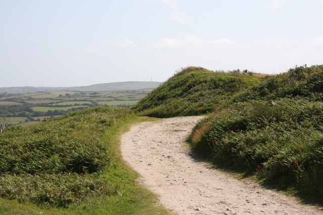
Track near the summit of Carn marth
Next to the flooded quarry. This track is mostly used by people driving up to fish in the quarry.
 Map © Crown Copyright")
TIP: Click the map for more Large scale mapping
- Grid Square
- SW7140, 36 images (more nearby 🔍)
- Photographer
- Graham Loveland (more nearby)
- Date Taken
- Thursday, 4 July, 2013 (more nearby)
- Submitted
- Friday, 14 February, 2014
- Subject Location
-
OSGB36:
 SW 7167 4078 [10m precision]
WGS84: 50:13.3709N 5:12.1414W - Camera Location
-
OSGB36: SW 7168 4083
- View Direction
- South-southwest (about 202 degrees)