2014
NN5288 : Forestry track in Ardverikie Estate
taken 10 years ago, near to Kinloch Laggan, Highland, Scotland
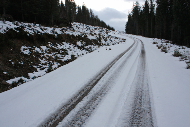
Forestry track in Ardverikie Estate
An estate track through conifer plantations.
 Map © Crown Copyright")
TIP: Click the map for more Large scale mapping
- Grid Square
- NN5288, 10 images (more nearby 🔍)
- Photographer
- Dorothy Carse (more nearby)
- Date Taken
- Saturday, 15 February, 2014 (more nearby)
- Submitted
- Monday, 17 February, 2014
- Subject Location
-
OSGB36:
 NN 5291 8810 [10m precision]
WGS84: 56:57.6401N 4:25.2368W - Camera Location
-
OSGB36: NN 5295 8814
- View Direction
- Southwest (about 225 degrees)