2014
ST8373 : Slaughterford - former brewery
taken 10 years ago, near to Slaughterford, Wiltshire, England
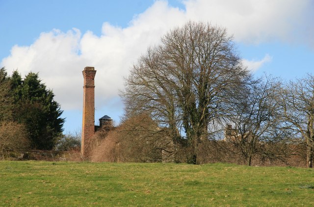
Slaughterford - former brewery
Photographed from the public footpath to Rag Mill. This square brick chimney was a pleasant surprise in the Wiltshire countryside.
 Map © Crown Copyright")
TIP: Click the map for more Large scale mapping
- Grid Square
- ST8373, 49 images (more nearby 🔍)
- Photographer
- Chris Allen (more nearby)
- Date Taken
- Saturday, 1 March, 2014 (more nearby)
- Submitted
- Monday, 3 March, 2014
- Subject Location
-
OSGB36:
 ST 8389 7392 [10m precision]
WGS84: 51:27.8411N 2:13.9975W - Camera Location
-
OSGB36: ST 8393 7380
- View Direction
- North-northwest (about 337 degrees)