2014
SD8502 : Royal Mail on Rochdale Road
taken 10 years ago, near to Harpurhey, Manchester, England
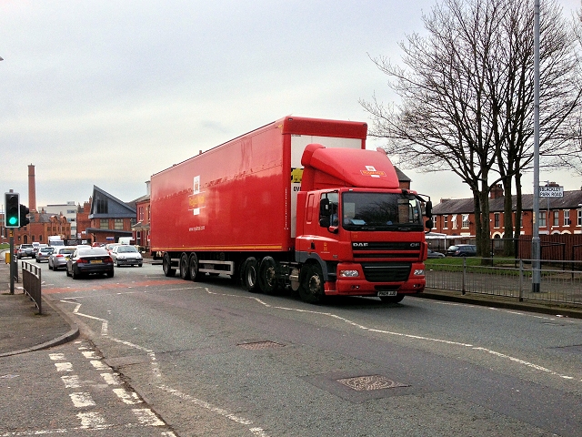
Royal Mail on Rochdale Road
Royal Mail articulated lorry (PN09 JJO) travelling north along Rochdale Road (A664).
A664 Road
The A664 runs 12 miles from Manchester to the northern side of Rochdale, forming an easterly bypass around Rochdale. It has two spurs in and near Castleton, one (the original route of the road, to the original terminus) to meet the A58 at Sudden, and the other (Edinburgh Way) to meet the A58 about 100 yards northeast of the first location, meeting the A627(M) on the way.
 Map © Crown Copyright")
TIP: Click the map for more Large scale mapping
- Grid Square
- SD8502, 71 images (more nearby 🔍)
- Photographer
- David Dixon (more nearby)
- Date Taken
- Wednesday, 5 March, 2014 (more nearby)
- Submitted
- Sunday, 9 March, 2014
- Subject Location
-
OSGB36:
 SD 8596 0225 [10m precision]
WGS84: 53:31.0041N 2:12.7925W - Camera Location
-
OSGB36: SD 85960 02284
- View Direction
- SOUTH (about 180 degrees)