J2069 : Moss Lane, Aghacarnan
taken 10 years ago, 6 km S of Dundrod, Co Antrim, Northern Ireland
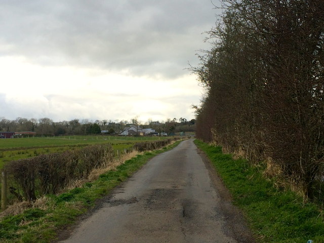
Moss Lane, Aghacarnan
A narrow lane to the south-west of Stoneyford village. This portion lies in the small townland of Aghacarnan. The Stoneyford River runs to the right of the image, behind the row of trees.
![Creative Commons Licence [Some Rights Reserved]](https://s1.geograph.org.uk/img/somerights20.gif)
|
· Find out How to reuse this image ·
Share:
|
|||||
| Start a discussion on J2069 | Suggest an update to this image | Contact the contributor | |||
Loading map... (JavaScript required)
- Grid Square
- J2069, 3 images (more nearby
 )
)
- Photographer
- Dean Molyneaux (find more nearby)
- Date Taken
- Sunday, 16 March, 2014 (more nearby)
- Submitted
- Sunday, 16 March, 2014
- Geographical Context
- Subject Location
-
Irish:
 J 207 698 [100m precision]
WGS84: 54:33.7695N 6:8.0897W - Camera Location
-
Irish: J 207 698
- View Direction
- West-northwest (about 292 degrees)
Image classification(about):
Geograph (Third Visitor for J2069)
This page has been viewed about 50 times.
View this location:
KML (Google Earth) ·
Google Maps ·
Bing Maps ·
Geograph Coverage Map ·
More Links for this image
·
Bing Maps ·
Geograph Coverage Map ·
More Links for this image