2007
NZ0886 : Devil's Causeway
taken 17 years ago, near to Hartburn, Northumberland, England
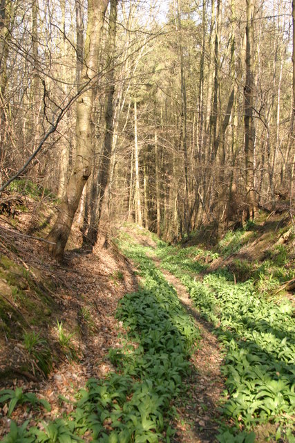
Devil's Causeway
The track of the Roman road on the south side of the ford across the Hart Burn.
 Map © Crown Copyright")
TIP: Click the map for more Large scale mapping
- Grid Square
- NZ0886, 42 images (more nearby 🔍)
- Photographer
- Phil Thirkell (more nearby)
- Date Taken
- Thursday, 5 April, 2007 (more nearby)
- Submitted
- Thursday, 5 April, 2007
- Subject Location
-
OSGB36:
 NZ 087 864 [100m precision]
WGS84: 55:10.3476N 1:51.8784W - Camera Location
-
OSGB36: NZ 086 863
- View Direction
- Northeast (about 45 degrees)