2014
ST3342 : Black Ditch, Puriton Level
taken 10 years ago, near to Puriton, Somerset, England
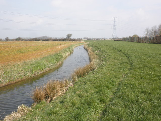
Black Ditch, Puriton Level
 Map © Crown Copyright")
TIP: Click the map for more Large scale mapping
- Grid Square
- ST3342, 5 images (more nearby 🔍)
- Photographer
- Roger Cornfoot (more nearby)
- Date Taken
- Wednesday, 26 March, 2014 (more nearby)
- Submitted
- Wednesday, 26 March, 2014
- Subject Location
-
OSGB36:
 ST 3303 4296 [10m precision]
WGS84: 51:10.9159N 2:57.5710W - Camera Location
-
OSGB36: ST 3300 4295
- View Direction
- East-northeast (about 67 degrees)