2014
NC1833 : Allt Arbhair
taken 10 years ago, 4 km WSW of Kylestrome, Highland, Scotland
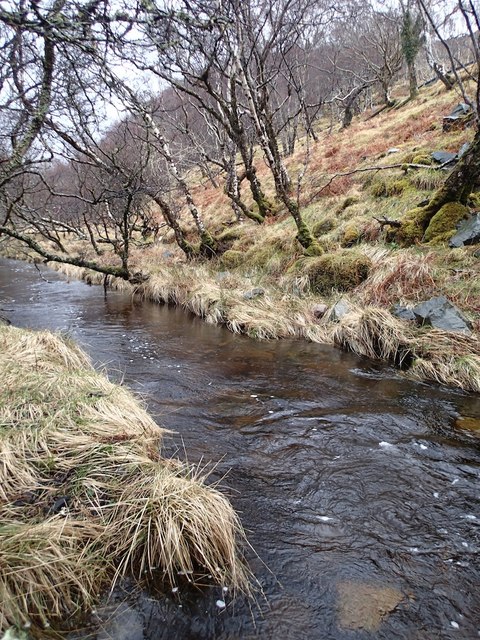
Allt Arbhair
The river in the Glen
 Map © Crown Copyright")
TIP: Click the map for more Large scale mapping
- Grid Square
- NC1833, 21 images (more nearby 🔍)
- Photographer
- Graeme Smith (more nearby)
- Date Taken
- Saturday, 22 March, 2014 (more nearby)
- Submitted
- Thursday, 27 March, 2014
- Subject Location
-
OSGB36:
 NC 1833 3309 [10m precision]
WGS84: 58:14.9338N 5:5.8346W - Camera Location
-
OSGB36: NC 1831 3310
- View Direction
- Southeast (about 135 degrees)