2014
NC5836 : Moorland south of Meall a' Bhrollaich
taken 10 years ago, near to Altnaharra, Highland, Scotland
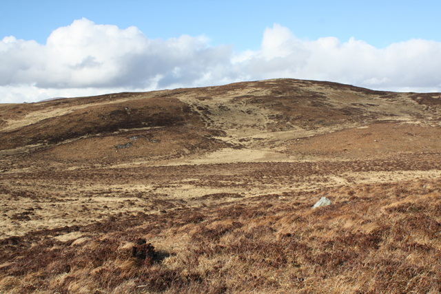
Moorland south of Meall a' Bhrollaich
North of Loch Naver.
 Map © Crown Copyright")
TIP: Click the map for more Large scale mapping
- Grid Square
- NC5836 (more nearby 🔍)
- Photographer
- Dorothy Carse (more nearby)
- Date Taken
- Saturday, 22 March, 2014 (more nearby)
- Submitted
- Friday, 28 March, 2014
- Subject Location
-
OSGB36:
 NC 5824 3648 [10m precision]
WGS84: 58:17.6390N 4:25.2042W - Camera Location
-
OSGB36: NC 5818 3643
- View Direction
- Northeast (about 45 degrees)