H1752 : Carrickreagh Bay
taken 20 years ago, 4 km WSW of Killadeas, Co Fermanagh, Northern Ireland
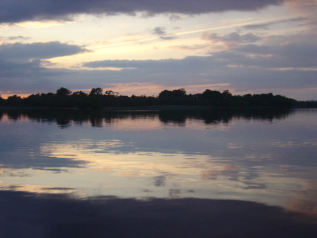
Carrickreagh Bay
Taken from Carrickreagh jetty on Lough Erne at the end of a summer's evening.
![Creative Commons Licence [Some Rights Reserved]](https://s1.geograph.org.uk/img/somerights20.gif)
|
· Find out How to reuse this image ·
Share:
|
|||||
| Start a discussion on H1752 | Suggest an update to this image | Contact the contributor | |||
Loading map... (JavaScript required)
- Grid Square
- H1752, 15 images (more nearby
 )
)
- Photographer
- Paul Gilmore (find more nearby)
- Date Taken
- Monday, 19 July, 2004 (more nearby)
- Submitted
- Thursday, 18 August, 2005
- Category
- Lough (more nearby)
- Subject Location
-
Irish:
 H 174 521 [100m precision]
WGS84: 54:25.0313N 7:43.9636W
This page has been viewed about 379 times.
View this location:
KML (Google Earth) ·
Google Maps ·
Bing Maps ·
Geograph Coverage Map ·
More Links for this image
·
Bing Maps ·
Geograph Coverage Map ·
More Links for this image