X6499 : Ballymacaw Cove
taken 10 years ago, 4 km WSW of Dunmore East, Co Waterford, Ireland
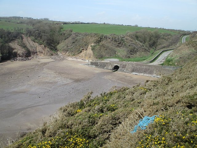
Ballymacaw Cove
Tiny stream enters the sea at Ballymacaw Cove.
![Creative Commons Licence [Some Rights Reserved]](https://s1.geograph.org.uk/img/somerights20.gif)
|
· Find out How to reuse this image ·
Share:
|
|||||
| Start a discussion on X6499 | Suggest an update to this image | Contact the contributor | |||
Loading map... (JavaScript required)
- Grid Square
- X6499, 3 images (more nearby
 )
)
- Photographer
- kevin higgins (find more nearby)
- Date Taken
- Wednesday, 16 April, 2014 (more nearby)
- Submitted
- Monday, 28 April, 2014
- Geographical Context
- Subject Location
-
Irish:
 X 646 990 [100m precision]
WGS84: 52:8.3854N 7:3.3699W - Camera Location
-
Irish: X 647 989
- View Direction
- West-northwest (about 292 degrees)
Image classification(about):
Geograph (Third Visitor for X6499)
This page has been viewed about 97 times.
View this location:
KML (Google Earth) ·
Google Maps ·
Bing Maps ·
Geograph Coverage Map ·
More Links for this image
·
Bing Maps ·
Geograph Coverage Map ·
More Links for this image