J4374 : The Carrowreagh Road, Dundonald - April 2014(1)
taken 10 years ago, near to Dundonald, Co Down, Northern Ireland
The Carrowreagh Road, Dundonald - April 2014(1)
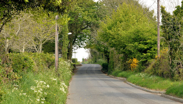
See J4374 : The Carrowreagh Road, Dundonald (March 2008) (March 2008). The view, uphill, slightly further north as the road starts to climb towards Craigantlet. The built-up part of Dundonald is just behind me.
The Carrowreagh Road, Dundonald
A steep minor road (reaching a maximum height of around 588ft) running, approximately north, from the Upper Newtownards Road, Dundonald towards Craigantlet. Part of the southern end is suburban. The rest is still agricultural.
![Creative Commons Licence [Some Rights Reserved]](https://s1.geograph.org.uk/img/somerights20.gif)
|
· Find out How to reuse this image ·
Share:
|
|||||
| Start a discussion on J4374 | Suggest an update to this image | Contact the contributor | |||
Loading map... (JavaScript required)
- Grid Square
- J4374, 18 images (more nearby
 )
)
- Photographer
- Albert Bridge (find more nearby)
- Date Taken
- Wednesday, 30 April, 2014 (more nearby)
- Submitted
- Wednesday, 30 April, 2014
- Geographical Context
- Place (from Tags)
- Primary Subject of Photo
- Subject Location
-
Irish:
 J 435 745 [100m precision]
WGS84: 54:35.9215N 5:46.7564W - Camera Location
-
Irish: J 435 744
- View Direction
- North-northeast (about 22 degrees)
Other Tags
Image classification(about):
Geograph
This page has been viewed about 67 times.
View this location:
KML (Google Earth) ·
Google Maps ·
Bing Maps ·
Geograph Coverage Map ·
More Links for this image
·
Bing Maps ·
Geograph Coverage Map ·
More Links for this image