1980
SD6433 : The Lane down to New House Farm, Osbaldeston / Osbaldeston Hall
taken 44 years ago, near to Osbaldeston, Lancashire, England
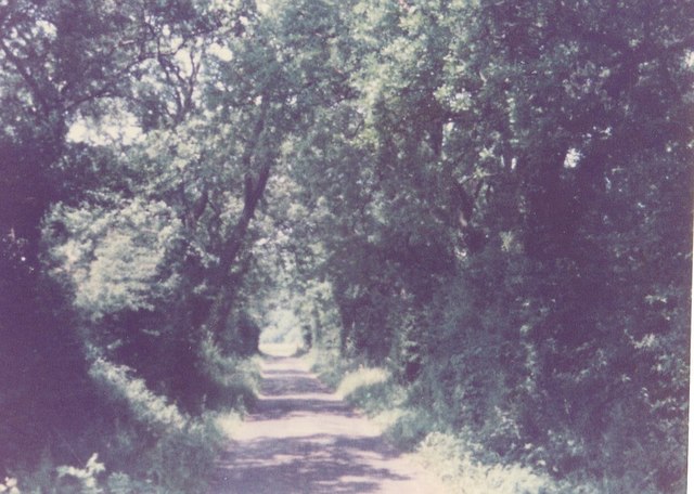
The Lane down to New House Farm, Osbaldeston / Osbaldeston Hall
The photo was taken in the 70's or 80's before Ross Farm / Osbaldeston Riding Centre, formerly Park Gate Riding Centre, expanded its car park. In those days it was not called Osbaldeston Lane, with the address of New House Farm being simply New House Farm, Osbaldeston, until the road by Park Gate was re routed, making it in effect a cross road. It was a private lane and thus not maintained by the council.
 Map © Crown Copyright")
TIP: Click the map for more Large scale mapping
- Grid Square
- SD6433, 23 images (more nearby 🔍)
- Photographer
- carolyn m briggs (more nearby)
- Date Taken
- 1980 (more nearby)
- Submitted
- Thursday, 1 May, 2014
- Subject Location
-
OSGB36:
 SD 64587 33342 [1m precision]
WGS84: 53:47.7104N 2:32.3448W - Camera Location
-
OSGB36: SD 6459 3324
- View Direction
- NORTH (about 0 degrees)