J3042 : Ruined cottages on the lower slopes of Slievegarran
taken 17 years ago, 5 km NNE of Ballyward, Co Down, Northern Ireland
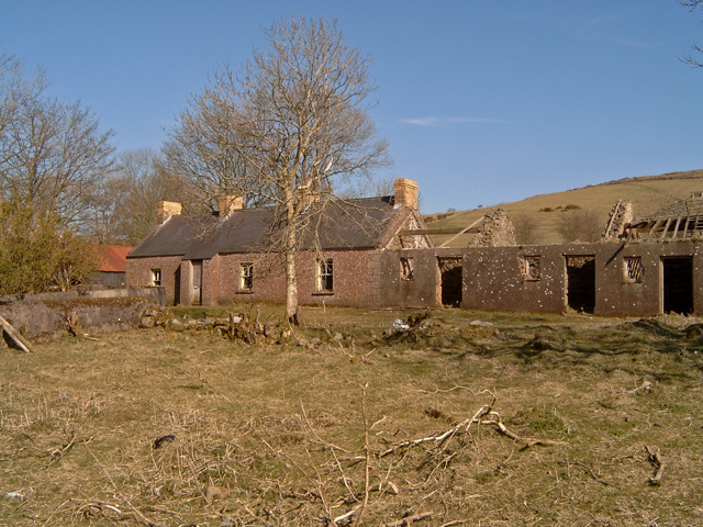
Ruined cottages on the lower slopes of Slievegarran
![Creative Commons Licence [Some Rights Reserved]](https://s1.geograph.org.uk/img/somerights20.gif)
|
· Find out How to reuse this image ·
Share:
|
|||||
| Start a discussion on J3042 | Suggest an update to this image | Contact the contributor | |||
Loading map... (JavaScript required)
- Grid Square
- J3042, 46 images (more nearby
 )
)
- Photographer
- Ian R Maxwell (find more nearby)
- Date Taken
- Sunday, 1 April, 2007 (more nearby)
- Submitted
- Tuesday, 10 April, 2007
- Category
- Farm buildings (derelict) (more nearby)
- Subject Location
-
Irish:
 J 304 427 [100m precision]
WGS84: 54:18.9843N 5:59.8153W - Camera Location
-
Irish: J 305 426
- View Direction
- Northeast (about 45 degrees)
Image classification(about):
Geograph
This page has been viewed about 61 times.
View this location:
KML (Google Earth) ·
Google Maps ·
Bing Maps ·
Geograph Coverage Map ·
More Links for this image
·
Bing Maps ·
Geograph Coverage Map ·
More Links for this image