2007
NH6618 : Moorland
taken 17 years ago, near to Beinn Bhreac Bheag [hill or Mountain], Highland, Great Britain
Moorland
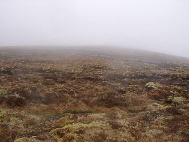
This was taken looking South as the driving mist came rolling over the moor. Temperature was 8 deg with a fierce wind! The land around here is featureless with deep peat hags.
 Map © Crown Copyright")
TIP: Click the map for more Large scale mapping
- Grid Square
- NH6618 (more nearby 🔍)
- Photographer
- Thelma Smart (more nearby)
- Date Taken
- Monday, 9 April, 2007 (more nearby)
- Submitted
- Wednesday, 11 April, 2007
- Subject Location
-
OSGB36:
 NH 669 184 [100m precision]
WGS84: 57:14.2204N 4:12.3321W - Camera Location
-
OSGB36: NH 669 184
- View Direction
- Southwest (about 225 degrees)