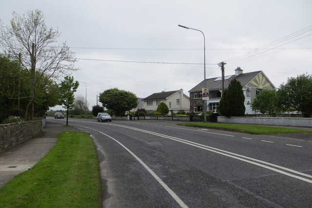
M1389 : The N5 to Westport
taken 10 years ago, near to Castlebar, Co Mayo, Ireland
![Creative Commons Licence [Some Rights Reserved]](https://s1.geograph.org.uk/img/somerights20.gif)
|
· Find out How to reuse this image ·
Share:
|
|||||
| Start a discussion on M1389 | Suggest an update to this image | Contact the contributor | |||
Loading map... (JavaScript required)
- Grid Square
- M1389, 38 images (more nearby
 )
)
- Photographer
- Robert Ashby (find more nearby)
- Date Taken
- Wednesday, 14 May, 2014 (more nearby)
- Submitted
- Sunday, 18 May, 2014
- Geographical Context
- Primary Subject of Photo
- Subject Location
-
Irish:
 M 135 894 [100m precision]
WGS84: 53:50.8253N 9:18.9002W - Camera Location
-
Irish: M 136 894
- View Direction
- West-southwest (about 247 degrees)
This page has been viewed about 29 times.
View this location:
KML (Google Earth) ·
Google Maps ·
Bing Maps ·
Geograph Coverage Map ·
More Links for this image
·
Bing Maps ·
Geograph Coverage Map ·
More Links for this image