H9731 : Lurgana House from the Ballymoyer Road
taken 10 years ago, 3 km from Kingsmills, Co Armagh, Northern Ireland
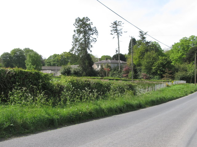
Lurgana House from the Ballymoyer Road
At the beginning of the 20thC, Lurgana House was the home of the King family. The head of the household, John King, farmer, and father of 10 was the former Baronial Constable of the County of Armagh. One son, William Alexander King of 6th Bn Black Watch (Royal Highlanders), fell in the Battle of the Somme in July 1916 and his brother, John Donaldson King, 9th Royal Irish Fusiliers also fell at the Battle of Cambrai in November 1917.
Link
Link
![Creative Commons Licence [Some Rights Reserved]](https://s1.geograph.org.uk/img/somerights20.gif)
|
· Find out How to reuse this image ·
Share:
|
|||||
| Start a discussion on H9731 | Suggest an update to this image | Contact the contributor | |||
Loading map... (JavaScript required)
- Grid Square
- H9731, 11 images (more nearby
 )
)
- Photographer
- Eric Jones (find more nearby)
- Date Taken
- Friday, 16 May, 2014 (more nearby)
- Submitted
- Wednesday, 21 May, 2014
- Geographical Context
- Subject Location
-
Irish:
 H 979 311 [100m precision]
WGS84: 54:13.1900N 6:29.9202W - Camera Location
-
Irish: H 980 311
- View Direction
- Southwest (about 225 degrees)
Image classification(about):
Geograph (Second Visitor for H9731)
This page has been viewed about 270 times.
View this location:
KML (Google Earth) ·
Google Maps ·
Bing Maps ·
Geograph Coverage Map ·
More Links for this image