2014

TM4664 : While you can (4): on to Goose Hill

taken 10 years ago, near to Eastbridge, Suffolk, England
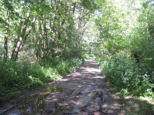
While you can (4): on to Goose Hill
A series of images of places likely to change when Sizewell C Nuclear Power Station is built. This is the narrowest point in the two areas of woodland, Kenton Hills and Goose Hill. The former is likely to be less affected by the construction of Sizewell C (with only a road and perhaps a railway track along its edges) while the latter will be cut through and into. See LinkExternal link

Creative Commons Licence [Some Rights Reserved]   © Copyright Zorba the Geek and licensed for reuse under this Creative Commons Licence.
Geographical Context: Woodland, Forest Primary Subject: Track
This photo is linked from: Automatic Clusters: · Track [5] · Change when Sizewell C Nuclear Power Station [2] · Kenton Hills [2] ·
1:50,000 Modern Day Landranger(TM) Map © Crown Copyright
+
+
1:50,000 Modern Day Landranger(TM) Map © Crown Copyright
TIP: Click the map for more Large scale mapping
Grid Square
TM4664, 29 images   (more nearby 🔍)
Photographer
Zorba the Geek   (more nearby)
Date Taken
Thursday, 22 May, 2014   (more nearby)
Submitted
Saturday, 24 May, 2014
Subject Location
OSGB36: geotagged! TM 4638 6460 [10m precision]
WGS84: 52:13.4669N 1:36.3621E
Camera Location
OSGB36: geotagged! TM 4635 6459
View Direction
East-northeast (about 67 degrees)
Clickable map
+
NW N NE
W Go E
SW S SE
Image classification(about): Geograph
This page has been viewed about 95 times
You are not logged in login | register