2014
TM4464 : While you can (13): "Cobb's Corner" from the Leiston-Theberton Road
taken 10 years ago, near to Eastbridge, Suffolk, England
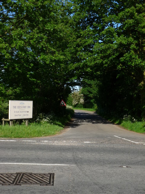
While you can (13): "Cobb's Corner" from the Leiston-Theberton Road
A series of images of places likely to change when Sizewell C Nuclear Power Station is built. The access route to Sizewell C is proposed to turn off the Leiston-Theberton Road just north of this point. In May 2014 a protest sign marked the spot:Link
 Map © Crown Copyright")
TIP: Click the map for more Large scale mapping
- Grid Square
- TM4464, 174 images (more nearby 🔍)
- Photographer
- Zorba the Geek (more nearby)
- Date Taken
- Thursday, 22 May, 2014 (more nearby)
- Submitted
- Tuesday, 27 May, 2014
- Subject Location
-
OSGB36:
 TM 4487 6443 [10m precision]
WGS84: 52:13.4158N 1:35.0310E - Camera Location
-
OSGB36: TM 4482 6442
- View Direction
- EAST (about 90 degrees)