2006
SH2582 : Holyhead Harbour and The Fish Dock
taken 18 years ago, near to Holyhead/Caergybi, Isle of Anglesey/Sir Ynys Mon, Wales
This is 1 of 9 images, with title starting with Holyhead in this square
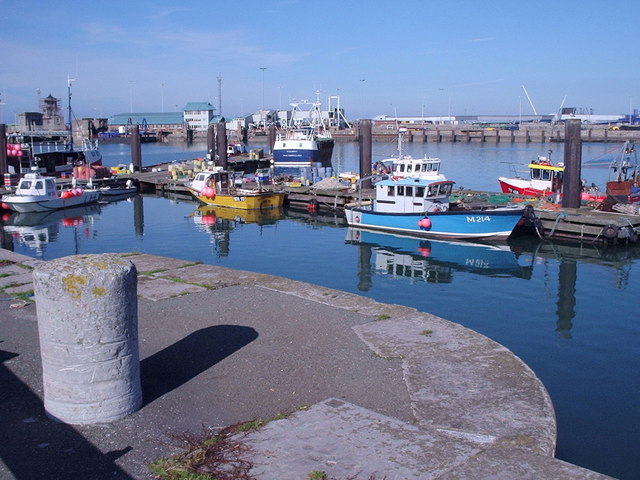
Holyhead Harbour and The Fish Dock
The Fish Dock is in the foreground and the conventional ferries tie up at Salt Island terminal in the background.
 Map © Crown Copyright")
TIP: Click the map for more Large scale mapping
- Grid Square
- SH2582, 128 images (more nearby 🔍)
- Photographer
- Brian Charlton (more nearby)
- Date Taken
- Friday, 13 October, 2006 (more nearby)
- Submitted
- Monday, 16 April, 2007
- Subject Location
-
OSGB36:
 SH 254 826 [100m precision]
WGS84: 53:18.7318N 4:37.3183W - Camera Location
-
OSGB36: SH 254 826
- View Direction
- North-northwest (about 337 degrees)