2007
TL5449 : Bridleway between Roman Road and Hildersham
taken 17 years ago, near to Hildersham, Cambridgeshire, England
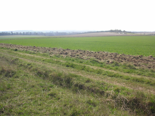
Bridleway between Roman Road and Hildersham
Bridleway leading from Roman Road to Hildersham. On the small hill in the right half of the image you can see farm equipment supposedly belonging to the rectory farm.
 Map © Crown Copyright")
TIP: Click the map for more Large scale mapping
- Grid Square
- TL5449, 27 images (more nearby 🔍)
- Photographer
- Oda Stoevesandt and Karsten Koehler (more nearby)
- Date Taken
- Friday, 6 April, 2007 (more nearby)
- Submitted
- Monday, 16 April, 2007
- Subject Location
-
OSGB36:
 TL 544 494 [100m precision]
WGS84: 52:7.3235N 0:15.2849E - Camera Location
-
OSGB36: TL 548 497
- View Direction
- West-southwest (about 247 degrees)