2014
NX5356 : Cambret Hill to Cairnharrow Hill
taken 10 years ago, near to Glen, Dumfries And Galloway, Scotland
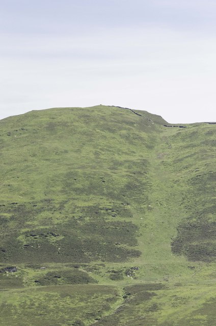
Cambret Hill to Cairnharrow Hill
View from the masts at the top of Cambret to the cairn at the top of Cairnharrow seen just to the left of the dyke.
 Map © Crown Copyright")
TIP: Click the map for more Large scale mapping
- Grid Square
- NX5356, 18 images (more nearby 🔍)
- Photographer
- Andy Farrington (more nearby)
- Date Taken
- Monday, 16 June, 2014 (more nearby)
- Submitted
- Saturday, 21 June, 2014
- Subject Location
-
OSGB36:
 NX 5328 5626 [10m precision]
WGS84: 54:52.7703N 4:17.3067W - Camera Location
-
OSGB36: NX 52431 57786
- View Direction
- South-southeast (about 157 degrees)