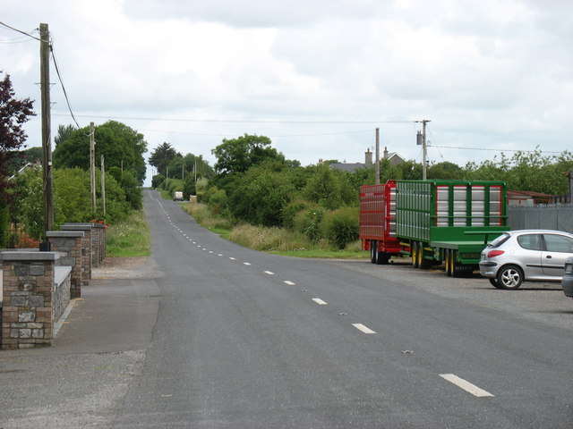
S2655 : The R689 heading for Gortnahoo
taken 10 years ago, 3 km from Gortnahoo, Co Tipperary, Ireland
![Creative Commons Licence [Some Rights Reserved]](https://s1.geograph.org.uk/img/somerights20.gif)
|
· Find out How to reuse this image ·
Share:
|
|||||
| Start a discussion on S2655 | Suggest an update to this image | Contact the contributor | |||
Loading map... (JavaScript required)
- Grid Square
- S2655 (more nearby
 )
)
- Photographer
- David Purchase (find more nearby)
- Date Taken
- Monday, 7 July, 2014 (more nearby)
- Submitted
- Saturday, 26 July, 2014
- Geographical Context
- Road (from Tags)
- Primary Subject of Photo
- Subject Location
-
Irish:
 S 2646 5530 [10m precision]
WGS84: 52:38.9190N 7:36.5876W - Camera Location
-
Irish: S 2646 5508
- View Direction
- NORTH (about 0 degrees)
This page has been viewed about 28 times.
View this location:
KML (Google Earth) ·
Google Maps ·
Bing Maps ·
Geograph Coverage Map ·
More Links for this image
·
Bing Maps ·
Geograph Coverage Map ·
More Links for this image