J2829 : The fire damaged Fofannyreagh Woodland
taken 10 years ago, 4 km S of Kilcoo, Co Down, Northern Ireland
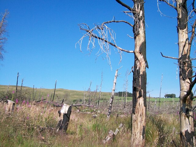
The fire damaged Fofannyreagh Woodland
The forest was destroyed around Eastertide 2011 and was one of a series of serious fires, some of them deliberately set, which destroyed forest and moorland in the Mourne area.
![Creative Commons Licence [Some Rights Reserved]](https://s1.geograph.org.uk/img/somerights20.gif)
|
· Find out How to reuse this image ·
Share:
|
|||||
| Start a discussion on J2829 | Suggest an update to this image | Contact the contributor | |||
Loading map... (JavaScript required)
- Grid Square
- J2829, 61 images (more nearby
 )
)
- Photographer
- Eric Jones (find more nearby)
- Date Taken
- Friday, 25 July, 2014 (more nearby)
- Submitted
- Saturday, 26 July, 2014
- Geographical Context
- Subject Location
-
Irish:
 J 289 295 [100m precision]
WGS84: 54:11.9436N 6:1.4619W - Camera Location
-
Irish: J 289 295
- View Direction
- Northwest (about 315 degrees)
Image classification(about):
Geograph
This page has been viewed about 51 times.
View this location:
KML (Google Earth) ·
Google Maps ·
Bing Maps ·
Geograph Coverage Map ·
More Links for this image
·
Bing Maps ·
Geograph Coverage Map ·
More Links for this image