2007
SN7553 : Llwybr Cwm Doethїe /Cwm Doethïe path
taken 17 years ago, near to Ty'n-y-Cornel [other Features], Ceredigion, Great Britain
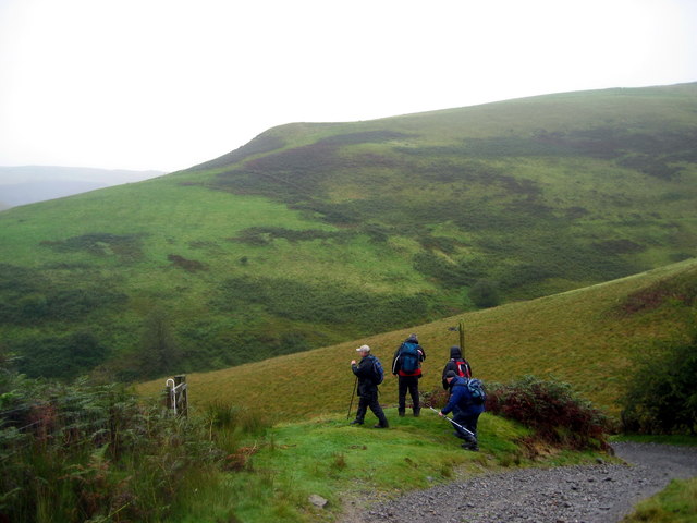
Llwybr Cwm Doethїe /Cwm Doethïe path
Cerddwyr y gadael trac i ddilyn llwybr Cwm Doethїe.
Walkers leaving the track to join the Cwm Doethїe path.
Walkers leaving the track to join the Cwm Doethїe path.
 Map © Crown Copyright")
TIP: Click the map for more Large scale mapping
- Grid Square
- SN7553, 345 images (more nearby 🔍)
- Photographer
- Alan Richards (more nearby)
- Date Taken
- Sunday, 23 September, 2007 (more nearby)
- Submitted
- Wednesday, 30 July, 2014
- Subject Location
-
OSGB36:
 SN 7548 5342 [10m precision]
WGS84: 52:9.8975N 3:49.3177W - Camera Location
-
OSGB36: SN 7573 5335
- View Direction
- West-northwest (about 292 degrees)