2013
SY6697 : Godmanstone and the Cerne Valley
taken 11 years ago, near to Godmanstone, Dorset, England
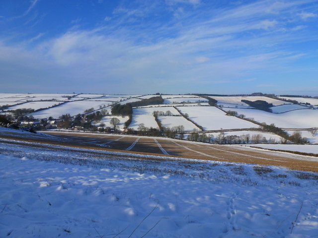
Godmanstone and the Cerne Valley
View from the top of "Killer Hill" where it joins Cowdon Ridge.
 Map © Crown Copyright")
TIP: Click the map for more Large scale mapping
- Grid Square
- SY6697, 93 images (more nearby 🔍)
- Photographer
- Ian Allman (more nearby)
- Date Taken
- Monday, 21 January, 2013 (more nearby)
- Submitted
- Sunday, 17 August, 2014
- Subject Location
-
OSGB36:
 SY 6674 9728 [10m precision]
WGS84: 50:46.4484N 2:28.3837W - Camera Location
-
OSGB36: SY 6731 9760
- View Direction
- West-southwest (about 247 degrees)