2014
SO6869 : Hop fields
taken 10 years ago, near to Lindridge, Worcestershire, England
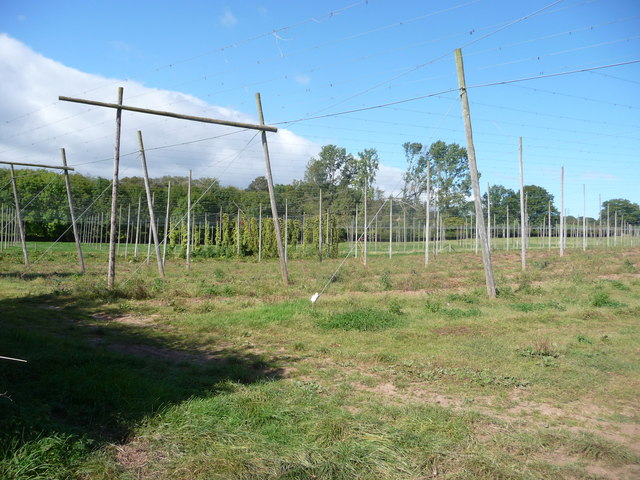
Hop fields
These hops were harvested last week. For an earlier view of this area (2006) see SO6869 : Hops and Apples.
 Map © Crown Copyright")
TIP: Click the map for more Large scale mapping
- Grid Square
- SO6869, 27 images (more nearby 🔍)
- Photographer
- Richard Greenwood (more nearby)
- Date Taken
- Friday, 26 September, 2014 (more nearby)
- Submitted
- Saturday, 27 September, 2014
- Subject Location
-
OSGB36:
 SO 6815 6918 [10m precision]
WGS84: 52:19.1874N 2:28.1215W - Camera Location
-
OSGB36: SO 6817 6915
- View Direction
- North-northwest (about 337 degrees)