2007
SE9267 : Shelter Belt
taken 17 years ago, near to Kirby Grindalythe, North Yorkshire, England
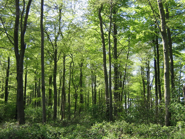
Shelter Belt
Narrow strip of woodland planted on Wold tops to create impression of extensive woodland, and provide game cover.
 Map © Crown Copyright")
TIP: Click the map for more Large scale mapping
- Grid Square
- SE9267, 13 images (more nearby 🔍)
- Photographer
- Andrew Barraclough (more nearby)
- Date Taken
- Tuesday, 1 May, 2007 (more nearby)
- Submitted
- Tuesday, 1 May, 2007
- Subject Location
-
OSGB36:
 SE 921 674 [100m precision]
WGS84: 54:5.6612N 0:35.5590W - Camera Location
-
OSGB36: SE 922 674
- View Direction
- West-southwest (about 247 degrees)