2014
TQ5875 : Ingress park Development - Greenhithe, Kent
taken 10 years ago, near to Greenhithe, Kent, England
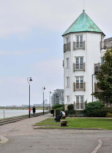
Ingress park Development - Greenhithe, Kent
 Map © Crown Copyright")
TIP: Click the map for more Large scale mapping
- Grid Square
- TQ5875, 97 images (more nearby 🔍)
- Photographer
- Brian Chadwick (more nearby)
- Date Taken
- Wednesday, 10 September, 2014 (more nearby)
- Submitted
- Thursday, 16 October, 2014
- Subject Location
-
OSGB36:
 TQ 5899 7525 [10m precision]
WGS84: 51:27.2347N 0:17.2123E - Camera Location
-
OSGB36: TQ 5890 7523
- View Direction
- East-northeast (about 67 degrees)