2007
SE6529 : The Ouse flood bank
taken 17 years ago, near to Barlow, North Yorkshire, England
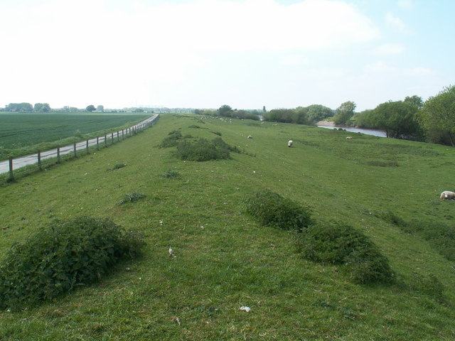
The Ouse flood bank
The first 100 metres are in this square (about as far as the second sheep).
 Map © Crown Copyright")
TIP: Click the map for more Large scale mapping
- Grid Square
- SE6529, 4 images (more nearby 🔍)
- Photographer
- Keith Rattenbury (more nearby)
- Date Taken
- Wednesday, 2 May, 2007 (more nearby)
- Submitted
- Wednesday, 2 May, 2007
- Subject Location
-
OSGB36:
 SE 650 299 [100m precision]
WGS84: 53:45.7113N 1:0.9116W - Camera Location
-
OSGB36: SE 650 299
- View Direction
- Southwest (about 225 degrees)