C8111 : Brockaghboy Townland
taken 10 years ago, 5 km SW of Garvagh, Co Londonderry, Northern Ireland
This is 1 of 2 images, with title Brockaghboy Townland in this square
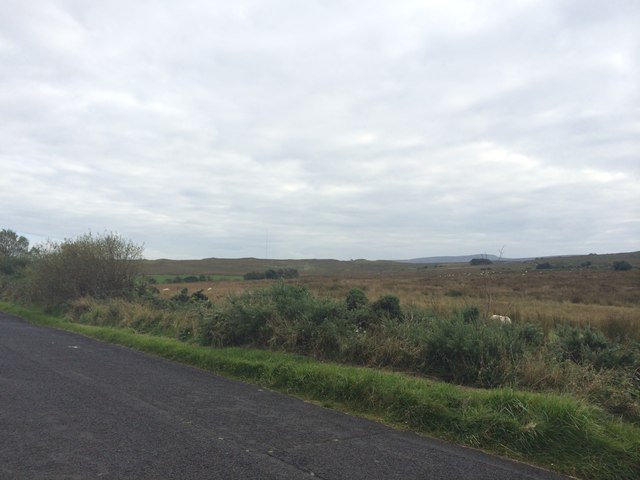
Brockaghboy Townland
Along the Drumbane Road to the west of Swatragh.
![Creative Commons Licence [Some Rights Reserved]](https://s1.geograph.org.uk/img/somerights20.gif)
|
· Find out How to reuse this image ·
Share:
|
|||||
| Start a discussion on C8111 | Suggest an update to this image | Contact the contributor | |||
Loading map... (JavaScript required)
- Grid Square
- C8111, 6 images (more nearby
 )
)
- Photographer
- Dean Molyneaux (find more nearby)
- Date Taken
- Wednesday, 3 September, 2014 (more nearby)
- Submitted
- Friday, 17 October, 2014
- Geographical Context
- Primary Subject of Photo
- Subject Location
-
Irish:
 C 812 117 [100m precision]
WGS84: 54:56.8193N 6:44.0139W - Camera Location
-
Irish: C 812 116
- View Direction
- NORTH (about 0 degrees)
Image classification(about):
Geograph (Second Visitor for C8111)
· First in 5 Years (TPoint) (about)
This page has been viewed about 55 times.
View this location:
KML (Google Earth) ·
Google Maps ·
Bing Maps ·
Geograph Coverage Map ·
More Links for this image
·
Bing Maps ·
Geograph Coverage Map ·
More Links for this image