J3371 : The River Lagan, Annadale, Belfast ( November 2014)
taken 9 years ago, near to Belfast, Co Antrim, Northern Ireland
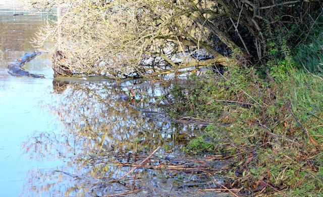
The River Lagan, Annadale, Belfast ( November 2014)
26 minutes before high water, the Lagan looking very high beside the path J3471 : Anglers path, River Lagan, Belfast below the Annadale Embankment. I dont have an exact lower-level view, but this one J3471 : The River Lagan at Annadale, Belfast (1) (April 2010), slightly further upstream, should serve as a reasonable comparison.
The River Lagan in flood 7 November 2014
Some photographs showing the River Lagan in flood, at Stranmillis, after some heavy rain during the week and, particularly, on 6 November 2014. This section is impounded between the Lagan Weir (Donegall Quay/Queens Quay) and the Stranmillis Weir. High water Belfast was at 11.00 am.
![Creative Commons Licence [Some Rights Reserved]](https://s1.geograph.org.uk/img/somerights20.gif)
|
· Find out How to reuse this image ·
Share:
|
|||||
| Start a discussion on J3371 | Suggest an update to this image | Contact the contributor | |||
Loading map... (JavaScript required)
- Grid Square
- J3371, 376 images (more nearby
 )
)
- Photographer
- Albert Bridge (find more nearby)
- Date Taken
- Friday, 7 November, 2014 (more nearby)
- Submitted
- Friday, 7 November, 2014
- Geographical Context
- Place (from Tags)
- Primary Subject of Photo
- Subject Location
-
Irish:
 J 339 715 [100m precision]
WGS84: 54:34.4700N 5:55.8089W - Camera Location
-
Irish: J 339 715
- View Direction
- Northwest (about 315 degrees)
Other Tags
Image classification(about):
Geograph
This page has been viewed about 62 times.
View this location:
KML (Google Earth) ·
Google Maps ·
Bing Maps ·
Geograph Coverage Map ·
More Links for this image
·
Bing Maps ·
Geograph Coverage Map ·
More Links for this image