J3674 : Part of the Portview Trade Centre visible from an unnamed cul-de-sac on the Newtownards Road
taken 9 years ago, 3 km from Belfast, Co Antrim, Northern Ireland
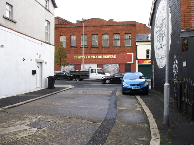
Part of the Portview Trade Centre visible from an unnamed cul-de-sac on the Newtownards Road
![Creative Commons Licence [Some Rights Reserved]](https://s1.geograph.org.uk/img/somerights20.gif)
|
· Find out How to reuse this image ·
Share:
|
|||||
| Start a discussion on J3674 | Suggest an update to this image | Contact the contributor | |||
Loading map... (JavaScript required)
- Grid Square
- J3674, 822 images (more nearby
 )
)
- Photographer
- Eric Jones (find more nearby)
- Date Taken
- Monday, 3 November, 2014 (more nearby)
- Submitted
- Wednesday, 12 November, 2014
- Geographical Context
- Subject Location
-
Irish:
 J 365 740 [100m precision]
WGS84: 54:35.7851N 5:53.2910W - Camera Location
-
Irish: J 361 742
- View Direction
- East-southeast (about 112 degrees)
Image classification(about):
Geograph
This page has been viewed about 25 times.
View this location:
KML (Google Earth) ·
Google Maps ·
Bing Maps ·
Geograph Coverage Map ·
More Links for this image
·
Bing Maps ·
Geograph Coverage Map ·
More Links for this image