2005
NU1242 : Pilgrims Way to Holy Island
taken 19 years ago, near to Holy Island, Northumberland, England
This is 1 of 13 images, with title starting with Pilgrims in this square
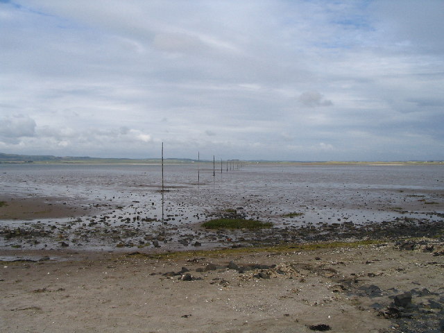
Pilgrims Way to Holy Island
It is possible, weather and tide permitting, to walk at low tide across the sands following the older crossing line known as the Pilgrims' Way and marked with posts: it also has refuge boxes for the careless walker.
 Map © Crown Copyright")
TIP: Click the map for more Large scale mapping
- Grid Square
- NU1242, 261 images (more nearby 🔍)
- Photographer
- Chris Eccleston (more nearby)
- Date Taken
- Saturday, 11 June, 2005 (more nearby)
- Submitted
- Thursday, 25 August, 2005
- Subject Location
-
OSGB36:
 NU 12 42 [1000m precision]
WGS84: 55:40.5502N 1:48.1684W