2007
TL9119 : View up disused wartime runway
taken 17 years ago, near to Smythe's Green, Essex, England
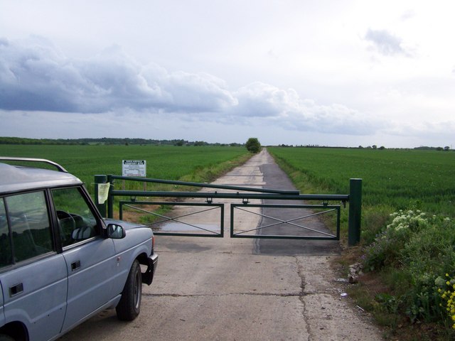
View up disused wartime runway
Looking along the disused wartime runway adjacent to Blind Lane
 Map © Crown Copyright")
TIP: Click the map for more Large scale mapping
- Grid Square
- TL9119, 5 images (more nearby 🔍)
- Photographer
- Trevor Alder (more nearby)
- Date Taken
- Tuesday, 8 May, 2007 (more nearby)
- Submitted
- Tuesday, 8 May, 2007
- Subject Location
-
OSGB36:
 TL 918 199 [100m precision]
WGS84: 51:50.6947N 0:47.0161E - Camera Location
-
OSGB36: TL 920 199
- View Direction
- West-southwest (about 247 degrees)