2007
ST9914 : Gussage Down
taken 17 years ago, near to Cashmoor, Dorset, England
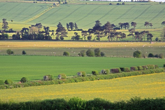
Gussage Down.
 Map © Crown Copyright")
TIP: Click the map for more Large scale mapping
- Grid Square
- ST9914, 15 images (more nearby 🔍)
- Photographer
- Simon Barnes (more nearby)
- Date Taken
- Tuesday, 8 May, 2007 (more nearby)
- Submitted
- Wednesday, 9 May, 2007
- Subject Location
-
OSGB36:
 ST 994 141 [100m precision]
WGS84: 50:55.5866N 2:0.5604W - Camera Location
-
OSGB36: SU 000 154
- View Direction
- South-southwest (about 202 degrees)