2014
NU1343 : Holy Island - Day mark at Emmanuel Head
taken 10 years ago, near to Holy Island, Northumberland, England
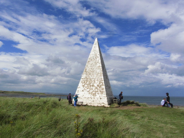
Holy Island - Day mark at Emmanuel Head
 Map © Crown Copyright")
TIP: Click the map for more Large scale mapping
- Grid Square
- NU1343, 184 images (more nearby 🔍)
- Photographer
- Colin Park (more nearby)
- Date Taken
- Friday, 29 August, 2014 (more nearby)
- Submitted
- Monday, 22 December, 2014
- Subject Location
-
OSGB36:
 NU 1393 4362 [10m precision]
WGS84: 55:41.1517N 1:46.8007W - Camera Location
-
OSGB36: NU 1394 4360
- View Direction
- North-northwest (about 337 degrees)