2005
NN9895 : River Dee and the Corrour Bothy
taken 19 years ago, near to Corrour Bothy [other Features], Aberdeenshire, Great Britain
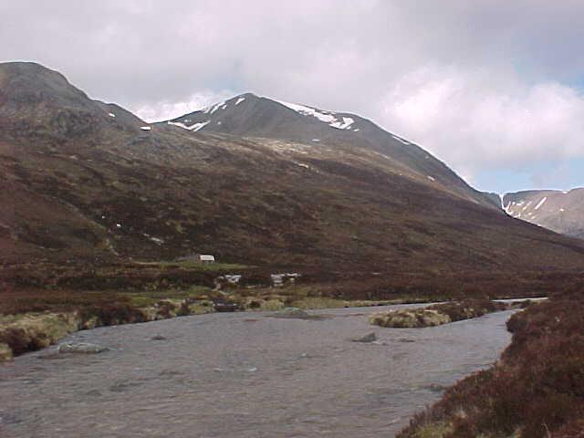
River Dee and the Corrour Bothy
 Map © Crown Copyright")
TIP: Click the map for more Large scale mapping
- Grid Square
- NN9895, 27 images (more nearby 🔍)
- Photographer
- Tim Glover (more nearby)
- Date Taken
- Thursday, 26 May, 2005 (more nearby)
- Submitted
- Friday, 26 December, 2014
- Subject Location
-
OSGB36:
 NN 983 957 [100m precision]
WGS84: 57:2.4676N 3:40.6596W - Camera Location
-
OSGB36: NN 983 956
- View Direction
- Northwest (about 315 degrees)