2014
NO1868 : Creagan Caise Track
taken 10 years ago, near to Auchavan, Angus, Scotland
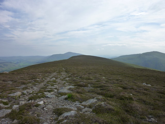
Creagan Caise Track
Looking toward the summit marked 658 m, Mount Blair and Duchray hill can be seen in the background.
 Map © Crown Copyright")
TIP: Click the map for more Large scale mapping
- Grid Square
- NO1868, 15 images (more nearby 🔍)
- Photographer
- I A Smellie (more nearby)
- Date Taken
- Saturday, 31 May, 2014 (more nearby)
- Submitted
- Wednesday, 31 December, 2014
- Subject Location
-
OSGB36:
 NO 1803 6862 [10m precision]
WGS84: 56:48.1115N 3:20.6310W - Camera Location
-
OSGB36: NO 1814 6897
- View Direction
- South-southwest (about 202 degrees)