2015
SD9703 : The top of Calf Lane, Quick
taken 9 years ago, near to Grasscroft, Oldham, England
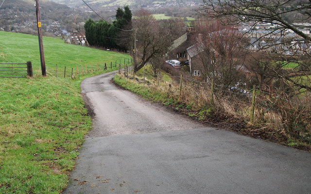
The top of Calf Lane, Quick
Looking down into the Tame Valley from the junction with Stockport Road, A670.
 Map © Crown Copyright")
TIP: Click the map for more Large scale mapping
- Grid Square
- SD9703, 99 images (more nearby 🔍)
- Photographer
- michael ely (more nearby)
- Date Taken
- Tuesday, 13 January, 2015 (more nearby)
- Submitted
- Wednesday, 14 January, 2015
- Subject Location
-
OSGB36:
 SD 9772 0357 [10m precision]
WGS84: 53:31.7271N 2:2.1519W - Camera Location
-
OSGB36: SD 9763 0355
- View Direction
- East-northeast (about 67 degrees)