2014
SN7650 : Doethie Valley
taken 9 years ago, 4 km NNW of Ystradffin, Carmarthenshire/Sir Gaerfyrddin, Wales
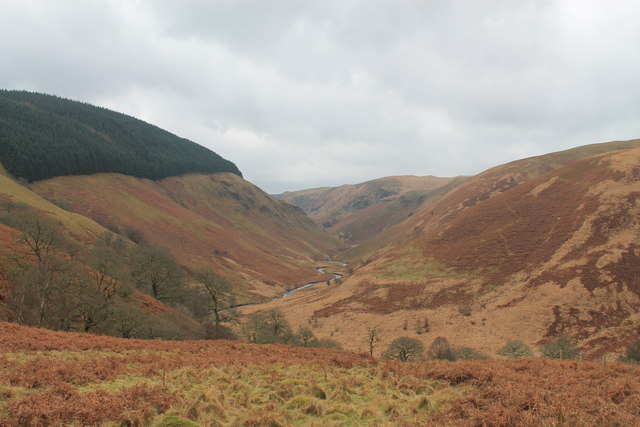
Doethie Valley
View down the Doethie valley from Foel Fraith
 Map © Crown Copyright")
TIP: Click the map for more Large scale mapping
- Grid Square
- SN7650, 10 images (more nearby 🔍)
- Photographer
- Oliver Strange (more nearby)
- Date Taken
- Wednesday, 31 December, 2014 (more nearby)
- Submitted
- Saturday, 17 January, 2015
- Subject Location
-
OSGB36:
 SN 7697 5090 [10m precision]
WGS84: 52:8.5589N 3:47.9565W - Camera Location
-
OSGB36: SN 7715 5155
- View Direction
- South-southwest (about 202 degrees)