2007
TM4472 : Road junction
taken 17 years ago, 3 km from Blythburgh, Suffolk, England
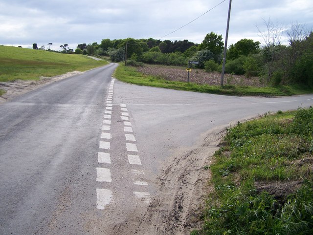
Road junction
To the East of Dunwich Road - looking towards Ten Acre Covert
 Map © Crown Copyright")
TIP: Click the map for more Large scale mapping
- Grid Square
- TM4472, 14 images (more nearby 🔍)
- Photographer
- Claire Haystead (more nearby)
- Date Taken
- Saturday, 12 May, 2007 (more nearby)
- Submitted
- Saturday, 12 May, 2007
- Subject Location
-
OSGB36:
 TM 448 725 [100m precision]
WGS84: 52:17.7875N 1:35.3754E - Camera Location
-
OSGB36: TM 449 725
- View Direction
- West-southwest (about 247 degrees)