J4477 : Cairn Wood, Craigantlet - February 2015(1)
taken 9 years ago, 4 km NE of Dundonald, Co Down, Northern Ireland
Cairn Wood, Craigantlet - February 2015(1)
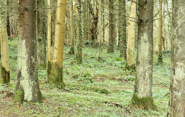
A part of Cairn Wood, close to here J4477 : Felled trees, Cairn Wood, Craigantlet - February 2015(3), which hasnt been felled.
Cairn Wood near Craigantlet
Cairn Wood, near Craigantlet cross roads, is mixed woodland close to east Belfast and Dundonald. It is a popular spot for dog walkers and family walks as well as being used by orienteers. It was formerly part of the Clandeboye estate.
![Creative Commons Licence [Some Rights Reserved]](https://s1.geograph.org.uk/img/somerights20.gif)
|
· Find out How to reuse this image ·
Share:
|
|||||
| Start a discussion on J4477 | Suggest an update to this image | Contact the contributor | |||
Loading map... (JavaScript required)
- Grid Square
- J4477, 65 images (more nearby
 )
)
- Photographer
- Albert Bridge (find more nearby)
- Date Taken
- Monday, 16 February, 2015 (more nearby)
- Submitted
- Monday, 16 February, 2015
- Geographical Context
- Primary Subject of Photo
- Subject Location
-
Irish:
 J 447 772 [100m precision]
WGS84: 54:37.3559N 5:45.6098W - Camera Location
-
Irish: J 447 772
- View Direction
- South-southeast (about 157 degrees)
Other Tags
Image classification(about):
Geograph
This page has been viewed about 38 times.
View this location:
KML (Google Earth) ·
Google Maps ·
Bing Maps ·
Geograph Coverage Map ·
More Links for this image
·
Bing Maps ·
Geograph Coverage Map ·
More Links for this image