J4482 : Coastal path improvements, Helen's Bay - February 2015(3)
taken 9 years ago, near to Helen's Bay, Co Down, Northern Ireland
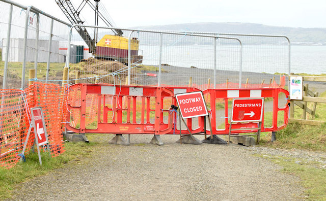
Coastal path improvements, Helen's Bay - February 2015(3)
See J4482 : Coastal path improvements, Helen's Bay - February 2015(2). The closed entrance to the North Down Coastal Path near here J4482 : Boathouse, Helen's Bay (2).
Coastal path improvements, Helen's Bay/Seahill
Some photographs showing the improvements to the North Down Coastal Path between Helens Bay and Seahill. The path was realigned, on the seaward side, to bypass a steep section accessible only by
![Creative Commons Licence [Some Rights Reserved]](https://s1.geograph.org.uk/img/somerights20.gif)
|
· Find out How to reuse this image ·
Share:
|
|||||
| Start a discussion on J4482 | Suggest an update to this image | Contact the contributor | |||
Loading map... (JavaScript required)
- Grid Square
- J4482, 121 images (more nearby
 )
)
- Photographer
- Albert Bridge (find more nearby)
- Date Taken
- Tuesday, 17 February, 2015 (more nearby)
- Submitted
- Tuesday, 17 February, 2015
- Geographical Context
- Place (from Tags)
- Subject Location
-
Irish:
 J 447 826 [100m precision]
WGS84: 54:40.2748N 5:45.4398W - Camera Location
-
Irish: J 447 826
- View Direction
- Northwest (about 315 degrees)
Other Tags
Image classification(about):
Geograph
This page has been viewed about 138 times.
View this location:
KML (Google Earth) ·
Google Maps ·
Bing Maps ·
Geograph Coverage Map ·
More Links for this image
·
Bing Maps ·
Geograph Coverage Map ·
More Links for this image