2015
SJ3748 : Public Footpath to Marchwiel
taken 9 years ago, near to Marchwiel, Wrexham/Wrecsam, Wales
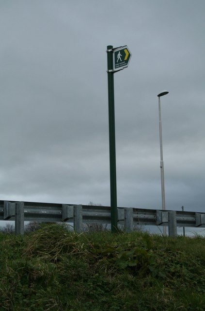
Public Footpath to Marchwiel
Having negotiated the crash barrier and precipitous bank the newly aligned footpath remained fairly easy going
 Map © Crown Copyright")
TIP: Click the map for more Large scale mapping
- Grid Square
- SJ3748, 17 images (more nearby 🔍)
- Photographer
- Geoff Evans (more nearby)
- Date Taken
- Wednesday, 18 February, 2015 (more nearby)
- Submitted
- Wednesday, 18 February, 2015
- Subject Location
-
OSGB36:
 SJ 3711 4837 [10m precision]
WGS84: 53:1.7341N 2:56.3504W - Camera Location
-
OSGB36: SJ 3708 4836
- View Direction
- East-northeast (about 67 degrees)