D2818 : Old railway bridge, Carnlough (2)
taken 17 years ago, near to Carnlough, Co Antrim, Northern Ireland
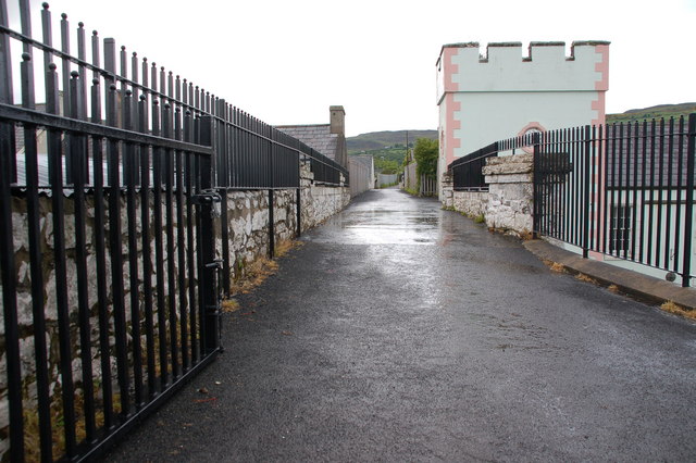
Old railway bridge, Carnlough (2)
See D2818 : Old railway bridge, Carnlough (1). The bridge is now a public footpath. This is the view towards the old quarries.
![Creative Commons Licence [Some Rights Reserved]](https://s1.geograph.org.uk/img/somerights20.gif)
|
· Find out How to reuse this image ·
Share:
|
|||||
| Start a discussion on D2818 | Suggest an update to this image | Contact the contributor | |||
Loading map... (JavaScript required)
- Grid Square
- D2818, 151 images (more nearby
 )
)
- Photographer
- Albert Bridge (find more nearby)
- Date Taken
- Monday, 14 May, 2007 (more nearby)
- Submitted
- Wednesday, 16 May, 2007
- Category
- Railway (disused) (more nearby)
- Subject Location
-
Irish:
 D 28 18 [1000m precision]
WGS84: 54:59.8432N 5:59.5690W - Camera Location
-
Irish: D 28 18
- View Direction
- WEST (about 270 degrees)
Image classification(about):
Geograph
This page has been viewed about 97 times.
View this location:
KML (Google Earth) ·
Google Maps ·
Bing Maps ·
Geograph Coverage Map ·
More Links for this image
·
Bing Maps ·
Geograph Coverage Map ·
More Links for this image